MethaneSAT uses Flyte to orchestrate global methane reduction from space
Challenge
MethaneSAT needed scalable orchestration for massive satellite data processing.
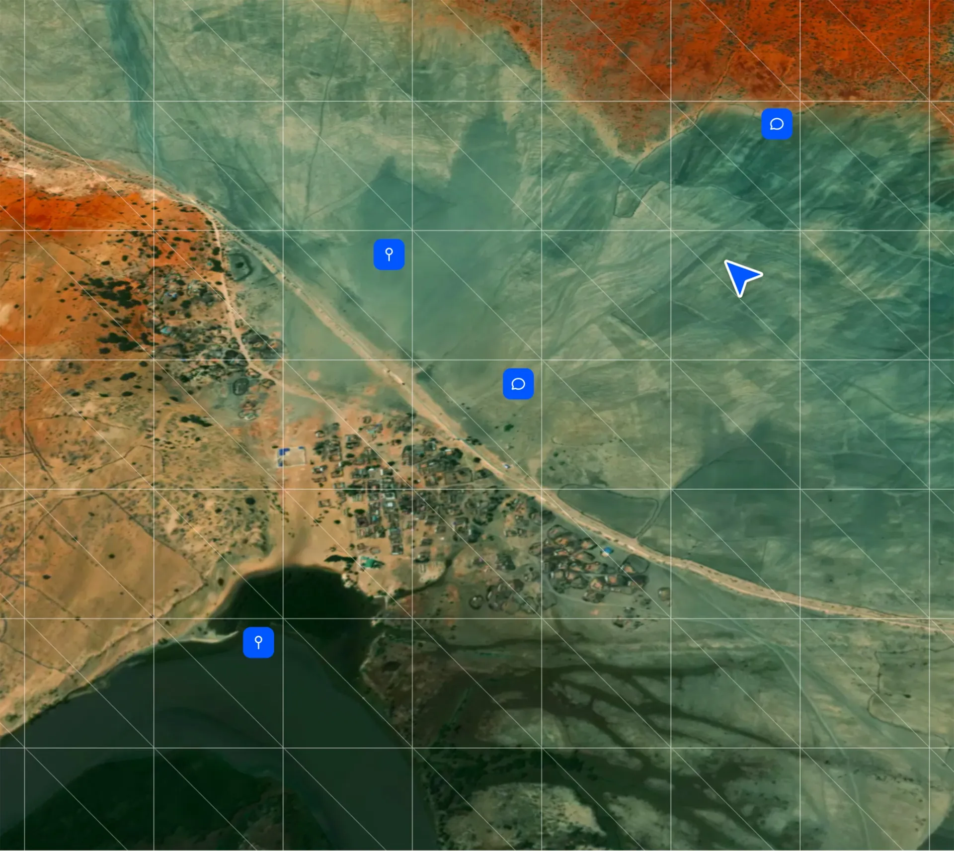
MethaneSAT—an American–New Zealand mission launched in 2024—aims to help reduce methane emissions by 45%, targeting the 80 million tons emitted annually by the oil and gas supply chain. Its satellite employs an advanced imaging spectrometer that isolates a narrow shortwave infrared band where methane absorbs light, allowing detection of concentrations as low as three parts per billion.
Unlike other satellites that measure either extremely large or very small areas, MethaneSAT captures a wide-view, high-precision observational footprint. It tracks:
- Emission rates
- Localized and regional emission patterns
- How emissions change over time
This level of precision and coverage enables governments and industry to rapidly identify, prioritize, and mitigate high-impact methane sources.
To make this mission possible, MethaneSAT needed infrastructure capable of processing hundreds of gigabytes of raw data per day and producing terabytes of derived data products—across highly complex, multi-stage scientific pipelines.
“Union and Flyte are our backbone for orchestration and task management.”

Nicholas LoFaso
Senior Platform Software Engineer at MethaneSAT
Solution
Flyte provides the backbone for MethaneSAT’s high-scale data processing.
MethaneSAT uses Flyte—via Union Cloud—to orchestrate its large-scale geospatial processing pipelines. According to Senior Platform Software Engineer Nicholas LoFaso, the mission relies heavily on Flyte to manage daily global data ingestion and transformation.
Each day, MethaneSAT expects to:
- Process 200 GB of raw satellite data
- Generate ~2 TB of final data products
- Analyze 30+ target regions around the world
Flyte’s dynamic tasks, launch plans, and nested workflows enable MethaneSAT to progress data from raw ingestion (Level 0/1) through successive scientific transformations (Levels 2–4). Flyte serves as the central orchestration engine for chaining these scientific components into reliable, auditable pipelines.
“To get from raw to Level 4, we need to organize all these tasks together, and that's where Flyte comes in. It’s our backbone for orchestration and task management.”
Flyte’s scalability is critical: MethaneSAT expects to operate 10,000+ CPUs daily, orchestrating thousands of tasks across multiple processing levels with high reliability.
MethaneSAT also benefits from Flyte’s strong community support, which accelerates development and troubleshooting.
“The community here is phenomenal… asking a million questions in Slack and getting answers from everybody. That’s been super helpful.”
CPUs orchestrated daily
→ 2TB processed per day from raw to final data
faster methane scanning vs. aircraft sensors
Results
Flyte enables MethaneSAT to process global datasets at unprecedented speed.
Flyte allows MethaneSAT to operate production-scale pipelines that would be nearly impossible to manage manually. Similar methane sensors mounted on aircraft have scanned the Permian Basin—one of the largest oil and gas regions in North America—in two hours. MethaneSAT will achieve the same coverage in 30 seconds.
“A fraction of the time, larger area… We’re really excited about the capabilities this project will enable us to do, and Flyte’s going to get us there.” — Nicholas LoFaso
With Flyte as the orchestration engine behind its global data-processing mission, MethaneSAT is poised to deliver rapid, high-resolution methane insights that can transform climate action efforts worldwide.